
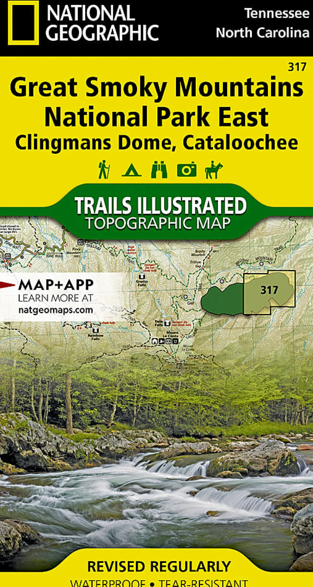
Literature-Trails Illustrated Great Smoky Mountains National Park East: Clingmans Dome, Cataloochee Map
$9.89
America’s most visited national park and a UNESCO World Heritage Site, Great Smoky Mountains National Park is both renowned for its diversity of plant and animal life and rich in remnants of Southern Appalachian mountain culture. National Geographic’s Trails Illustrated map of Clingmans Dome and Cataloochee, covers the eastern part of the park, from Sugarlands Visitor Center to the eastern boundary of the park with Pisgah National Forest. Created in partnership with the National Park Service and others, the map combines unparalleled detail and valuable information for outdoor enthusiasts seeking to explore all the area has to offer with particular attention shown to backcountry campsites, shelters, and stream crossings. The map features many key points of interest as well, including Mount Le Conte, Balsam Mountain, Roaring Fork and Newfound Gap.
Be the first to review “Literature-Trails Illustrated Great Smoky Mountains National Park East: Clingmans Dome, Cataloochee Map”
Related products




Car Racks & Pads


Dry Bags & Stuff Sacks












Camp Furniture


Backpacks



Car Racks & Pads
Car Racks & Pads-Yakima HD Crossbars – Large (Set of 2) Black



Games


Reviews
There are no reviews yet.